🎉 Up to 70% Off Selected ItemsShop Sale

Select Style
From $15.00
Original: $50.00
-70%Viking Britain Map Hand Drawn Fine Art Print—
$50.00
$15.00The Story
Who isn't fascinated by the Vikings? This map is sure to impress both history buffs and fantasy enthusiasts alike.
This map of Viking Britain & Ireland was originally drawn by hand by artist-cartographer Kevin Sheehan. The British Isles are turned sideways - the perspective of Norse and Danes sailing west towards Britain. The map was well-researched to depict Britain between 789 and 1066 AD, icluding major settlements of Anglo-Saxon and Celtic kingdoms, and those of the Norse and Danish kingdoms, which are distinguishable by the different calligraphic styles. Over 50 battle and raid sites with dates are also shown, and a timeline chronicles the major events across three centuries of history.
The inset map shows Jorvik — York, the Viking capital of the Danelaw — as it would have appeared around 900 AD, and the compass rose depicts the four Norse dwarves that hold up the sky.
This map is a limited edition print out of a run of 200, printed on high-quality 300gsm paper with long-lasting pigment inks. It is signed and numbered by artist - Kevin Sheehan.
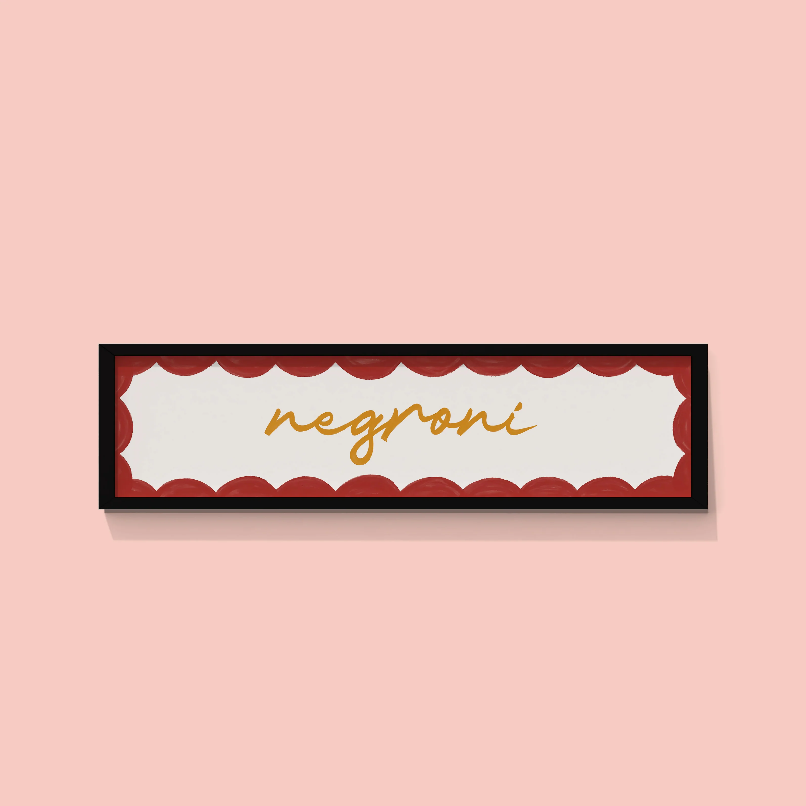
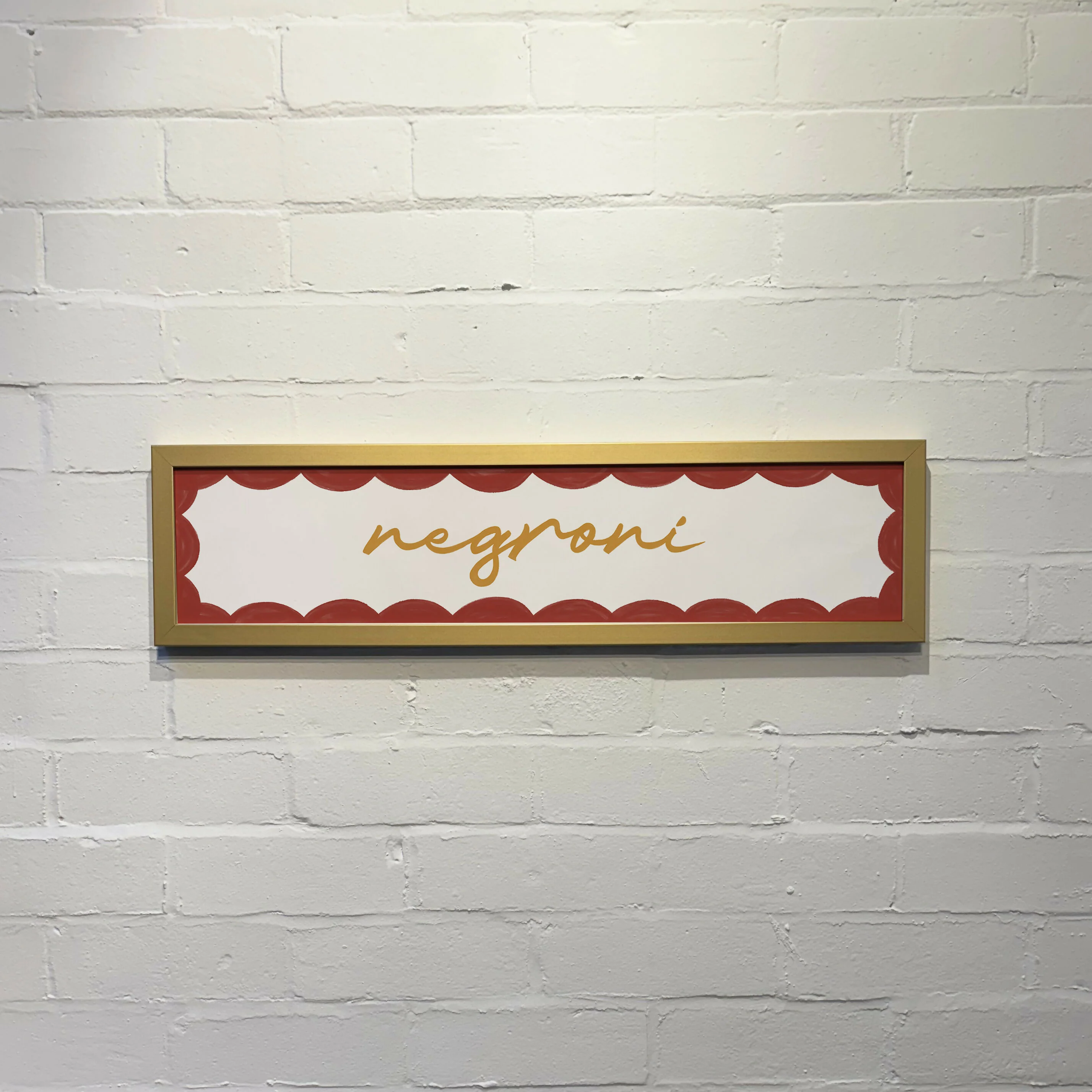
The map is sold with a mount (mat-board) in black, ivory, navy or slate, sized at 14"x18" (a standard frame size). It is also available framed with an ivory mount, black frame, and acrylic glass.
This map is also available printed as a tea towel and as a 1000 piece jigsaw puzzle.

Details & Craftsmanship
Every detail has been carefully considered to bring you the perfect product.

Details & Craftsmanship
Every detail has been carefully considered to bring you the perfect product.

Details & Craftsmanship
Every detail has been carefully considered to bring you the perfect product.

Details & Craftsmanship
Every detail has been carefully considered to bring you the perfect product.

Details & Craftsmanship
Every detail has been carefully considered to bring you the perfect product.

Details & Craftsmanship
Every detail has been carefully considered to bring you the perfect product.

Details & Craftsmanship
Every detail has been carefully considered to bring you the perfect product.

Details & Craftsmanship
Every detail has been carefully considered to bring you the perfect product.

Details & Craftsmanship
Every detail has been carefully considered to bring you the perfect product.
Description
Who isn't fascinated by the Vikings? This map is sure to impress both history buffs and fantasy enthusiasts alike.
This map of Viking Britain & Ireland was originally drawn by hand by artist-cartographer Kevin Sheehan. The British Isles are turned sideways - the perspective of Norse and Danes sailing west towards Britain. The map was well-researched to depict Britain between 789 and 1066 AD, icluding major settlements of Anglo-Saxon and Celtic kingdoms, and those of the Norse and Danish kingdoms, which are distinguishable by the different calligraphic styles. Over 50 battle and raid sites with dates are also shown, and a timeline chronicles the major events across three centuries of history.
The inset map shows Jorvik — York, the Viking capital of the Danelaw — as it would have appeared around 900 AD, and the compass rose depicts the four Norse dwarves that hold up the sky.
This map of Viking Britain & Ireland was originally drawn by hand by artist-cartographer Kevin Sheehan. The British Isles are turned sideways - the perspective of Norse and Danes sailing west towards Britain. The map was well-researched to depict Britain between 789 and 1066 AD, icluding major settlements of Anglo-Saxon and Celtic kingdoms, and those of the Norse and Danish kingdoms, which are distinguishable by the different calligraphic styles. Over 50 battle and raid sites with dates are also shown, and a timeline chronicles the major events across three centuries of history.
The inset map shows Jorvik — York, the Viking capital of the Danelaw — as it would have appeared around 900 AD, and the compass rose depicts the four Norse dwarves that hold up the sky.
This map is a limited edition print out of a run of 200, printed on high-quality 300gsm paper with long-lasting pigment inks. It is signed and numbered by artist - Kevin Sheehan.
The map is sold with a mount (mat-board) in black, ivory, navy or slate, sized at 14"x18" (a standard frame size). It is also available framed with an ivory mount, black frame, and acrylic glass.
This map is also available printed as a tea towel and as a 1000 piece jigsaw puzzle.