🎉 Up to 70% Off Selected ItemsShop Sale

Select Style
From $15.00
Original: $50.00
-70%Roman Britain Map Hand Drawn Fine Art Print—
$50.00
$15.00The Story
You can almost hear the deafening sound of the marching centurions. In 55 BC Julius Caesar invaded the British Isles, and in 43 AD Claudius annexed Provincia Britannia into the Roman Empire.
This detailed map - originally hand-drawn - shows Roman Britain, including the coloniae, major towns and forts, the primary roads. It also includes an inset map of Hadrian’s Wall, the vexilla (banners) of the three main Roman Legions stationed in Britannia, and the names of the four provinces following the Diocletian Reforms at the end of the 3rd century.
This detailed map - originally hand-drawn - shows Roman Britain, including the coloniae, major towns and forts, the primary roads. It also includes an inset map of Hadrian’s Wall, the vexilla (banners) of the three main Roman Legions stationed in Britannia, and the names of the four provinces following the Diocletian Reforms at the end of the 3rd century.
For anyone fascinated by Roman history or archaeology, this map is a must-have.
This map is a limited edition print out of a run of 200, printed on high-quality 300gsm paper with long-lasting pigment inks. It is signed and numbered by the artist, Kevin Sheehan.
This map is a limited edition print out of a run of 200, printed on high-quality 300gsm paper with long-lasting pigment inks. It is signed and numbered by the artist, Kevin Sheehan.
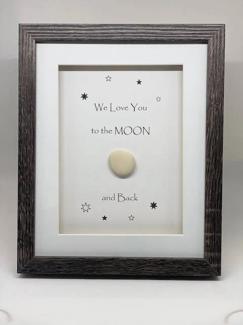
The map is sold with a mount (mat-board) in black, ivory, navy or slate, sized at 14"x18" (a standard frame size). It is also available framed with an ivory mount, black frame, and acrylic glass.
It is also the same size and layout as the Anglo Saxon Britain Map- they make a perfect pair!
It is also the same size and layout as the Anglo Saxon Britain Map- they make a perfect pair!

Details & Craftsmanship
Every detail has been carefully considered to bring you the perfect product.

Details & Craftsmanship
Every detail has been carefully considered to bring you the perfect product.

Details & Craftsmanship
Every detail has been carefully considered to bring you the perfect product.

Details & Craftsmanship
Every detail has been carefully considered to bring you the perfect product.

Details & Craftsmanship
Every detail has been carefully considered to bring you the perfect product.

Details & Craftsmanship
Every detail has been carefully considered to bring you the perfect product.

Details & Craftsmanship
Every detail has been carefully considered to bring you the perfect product.

Details & Craftsmanship
Every detail has been carefully considered to bring you the perfect product.

Details & Craftsmanship
Every detail has been carefully considered to bring you the perfect product.
Description
You can almost hear the deafening sound of the marching centurions. In 55 BC Julius Caesar invaded the British Isles, and in 43 AD Claudius annexed Provincia Britannia into the Roman Empire.
This detailed map - originally hand-drawn - shows Roman Britain, including the coloniae, major towns and forts, the primary roads. It also includes an inset map of Hadrian’s Wall, the vexilla (banners) of the three main Roman Legions stationed in Britannia, and the names of the four provinces following the Diocletian Reforms at the end of the 3rd century.
This detailed map - originally hand-drawn - shows Roman Britain, including the coloniae, major towns and forts, the primary roads. It also includes an inset map of Hadrian’s Wall, the vexilla (banners) of the three main Roman Legions stationed in Britannia, and the names of the four provinces following the Diocletian Reforms at the end of the 3rd century.
For anyone fascinated by Roman history or archaeology, this map is a must-have.
This map is a limited edition print out of a run of 200, printed on high-quality 300gsm paper with long-lasting pigment inks. It is signed and numbered by the artist, Kevin Sheehan.
This map is a limited edition print out of a run of 200, printed on high-quality 300gsm paper with long-lasting pigment inks. It is signed and numbered by the artist, Kevin Sheehan.
The map is sold with a mount (mat-board) in black, ivory, navy or slate, sized at 14"x18" (a standard frame size). It is also available framed with an ivory mount, black frame, and acrylic glass.
It is also the same size and layout as the Anglo Saxon Britain Map- they make a perfect pair!
It is also the same size and layout as the Anglo Saxon Britain Map- they make a perfect pair!